Szkolenia
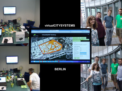
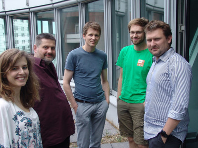
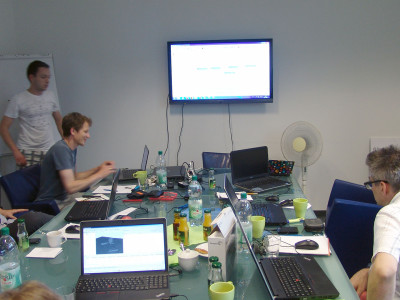
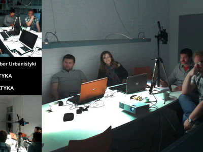
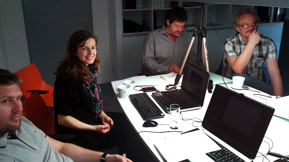
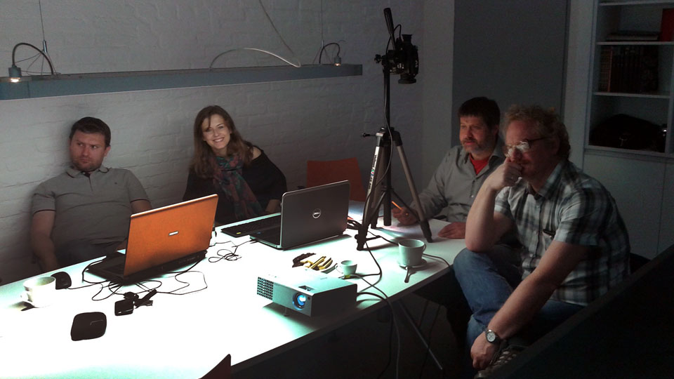
Dla pomyślnej realizacji projektu niezbędne były specjalistyczne szkolenia i konsultacje, zmierzające do poszerzenia wiedzy i kompetencji zespołu 2TaLL. Kamieniem milowym, było szkolenie z zakresu standardu CityGML oraz oprogramowania FME zorganizowane w Berlinie przez firmę Virtual City System (lipiec 2014). Dało to podstawę dla opanowania możliwości obsługi modeli CityGML oraz w dalszej perspektywie pozwoliło na stworzenie autorskich programów umożlwiających przetwarzanie tych danych (co było kluczowe m.in. dla metody 3d-negative). Inne szkolenia i konsultacje odbyły się w Polsce i dotyczyły technik GIS, informatyki oraz matematyki. Transfer wiedzy umożliwił rozwojów warsztatu – opracowanie podstaw nowych metod analitycznych oraz stworzenie aplikacji komputerowych (C++). Pozwolił również na weryfikację użyteczności dostępnych systemów analizy krajobrazu miasta (m.in. oprogramowania ESRI).
virtualcitySYSTEMS GmbH
The basic CityGML seminar from virtualcitySYSTEMS provides an introduction to the international OGC CityGML standard. It covers the basics for understanding CityGML and explains the role of CityGML within 3D GIS applications and processes. Based on the content of the basic seminar, we offer an in-depth expert seminar on the topic of CityGML. The seminar deals respectively with current topics from the CityGML practice and works through their theoretical fundamentals in detail. Where possible, the seminar participants are introduced to the practical implementation of topics on the basis of accompanying exercises.
BASIC CityGML Training
Urban Information Modelling with CityGML
* What is urban information modeling?
* Introduction to GML 3 and ISO 19100 standards group
* Basic concepts and thematic modules in CityGML 2.0
* Modeling of buildings, terrain, and additional CityGML feature types
* Multi-scale modeling, Geometric-topological modeling with GML 3 and CityGML
* Surface properties, Implicit geometries
* Extension mechanisms
Relationship of CityGML to other 3D data formats
* CityGML and visualization formats, such as KML/COLLADA or X3D
* CityGML and CAD/BIM
Relationship of CityGML to INSPIRE
Current applications of CityGML in practice and research
* Examples from areas, such as environmental and energy planning, noise simulation, disaster management or city planning
CityGML Processing with FME
The FME technology from Safe Software Company has established itself well as a standard tool for dealing with ETL processes (extract, load, transform), for handing GIS data and for supporting far more than 300 conventional GIS data formats in addition to CityGML in its current version. FME, therefore, offers its services for the creation, processing, and transformation of CityGML data from various data sources as well as for the provisioning of CityGML data in various target data formats. Our seminar provides an extensive introduction into the processing of CityGML with FME. In addition to basic processes for reading and writing CityGML data and their practical implementation, accessing to the 3D City Database forms is a significant point of interest in focus of the seminar. The training begins with an introduction into the CityGML data model and 3D data processing with FME. Reading and writing of CityGML with FME is introduced and exercised using practical examples. The focus is on producing valid building data from heterogeneous input data. In addition, other object classes of objects, such as terrain, public amenities, and vegetation objects are dealt with as well. On the second day, the emphasis is placed on connecting databases as data sources and how to directly access to the CityGML database “3DCityDB”.
Training components:
* 3D data formats and dealing with 3D geometry
* Basics of reading and writing of CityGML
* Converting 3D data formats in CityGML
* Converting CityGML into other 3D formats
* Database access with FME
* Manipulating and extracting objects from the 3DCityDB
05.2014 – 07.2014 SZCZECIN | szkolenia z GIS
mgr inż. arch. Maciej Jarzemski (Linus; Urząd Miejski w Policach, System Informacji Przestrzennej)
12.2014 – 01.2015 SZCZECIN | szkolenia z ArcGIS
dr inż. arch. Jacek Łubczonek (Maritime University, Faculty of Navigation, Institute of Geoinformatics)
05.2014 – 02.2016 SZCZECIN | konsultacje IT
inż. Maciej Berdyszak, mgr inż. arch. Maciej Jarzemski
05.2014 – 06.2014 SZCZECIN | konsultacje matematyczne
dr Grzegorz Szkibiel (Uniwersytet Szczeciński, Wydział Matematyczno-Fizyczny)
