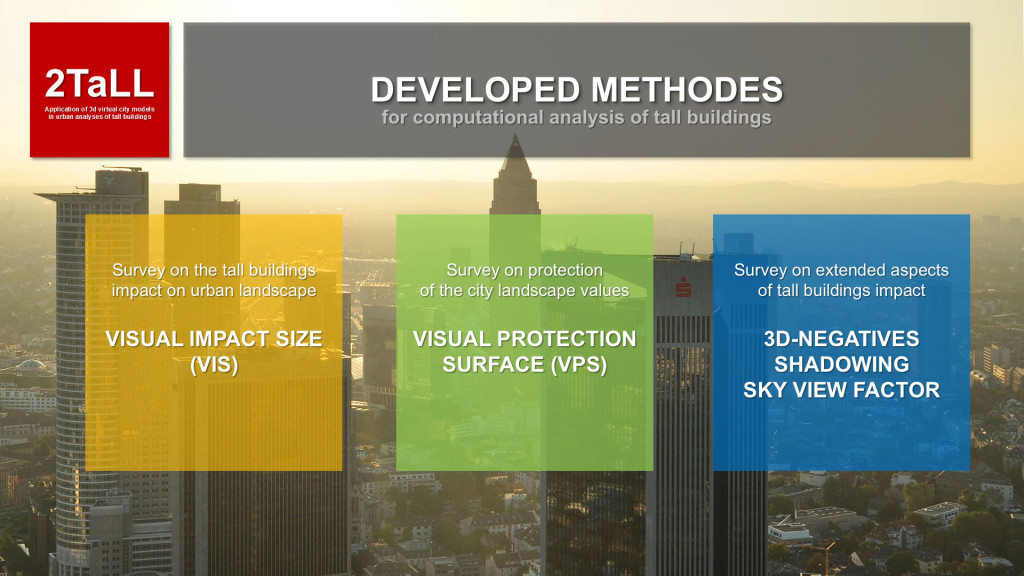
Summary of developed methods
The 2TaLL project aimed at examination of using virtual city models (3D) to provide advanced urban analyses focused on simulations of impact of tall buildings on landscapes of European cities. Both for processing of city models (CityGML / LiDAR) and for application of computational methods – new software solutions (C++) was created. As a results of research following methods was developed:
►VIS: Visual Impact Size – for analysis of single tall buildings impact into cityscape
►VPS: Visual Protection Surface – for protection of city landscape values
►3D-Negative / Shadowing / SVF – for analysis of tall building impact into public spaces
VIS method was developed for comprehensive assessment of the visual impact range of a given tall building. It enables determining which public locations in a city remain under the influence of a tall building. A single calculation process defines the range of the impact, namely whether we can see the building in whole or a major or minor part of it. The method enables measuring the visual impact of a building at various heights. The results are generated automatically in the form of a 2D map.
VPS method focuses on protecting the background of important city skylines. The method enables determining height limits for certain buildings. Input data comprises coordinates of expositions points for strategic views that need to be protected. The computation process generates a surface above the city determining the maximum height of buildings, buildings which are not seen from protected viewpoints.
VIS and VPS are complementary methods as regards examining of urban landscape as well as planning applications. VIS has broader origin and is deeply rooted in previous research, whereas VPS has been studied in theory, however not yet developed in practice. Finally, the 2TaLL project research and the development of new programing tools enabled possibility of applying both methods to the same facilities (in vector model environment and city models based on cloud of points). Although, both methods are used for analysing the city landscape, but the analysis focuses on two different issues: the impact of a building on the landscape, and protection of a view and its implications for developing buildings in a city. When applied together, both methods enable versatile and multifaceted analysis of the landscape and assessment of its absorption capacity as regards new investment, including tall buildings. The application of the methods in spatial planning can significantly improve the quality and reliability of decision making as regards their impact on the development of a city.
Tall buildings has a major impact not only on the landscape but also on the quality and functioning of public space in a city. The above was a subject of a separate research under the project. This led to the development of the 3D-Negative method which enables (based on CityGML model) generating a 3D public space model, or the negative of a city, and then analysing its geometrical parameters: the spectrum analysis (CSP), angle typology analysis (TBS), dimension typology analysis and study of public space planes and surfaces (TBL, TBA). Research on public space also focused on the intensity of the shadow effect produced and obstructing the view by tall buildings. The study applied specialist software providing for calculation of sun exposure time and Sky View Factor (SVF), a tool that enables calculation of surface area obstructed.
► More about – VIS: Visual Impact Size
► More about – VPS: Visual Protection Surface
► More about – 3D Negatives & Public spaces
