VIS: Visual Impact Size
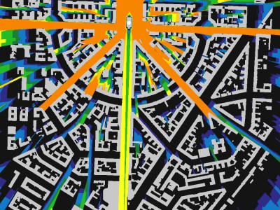
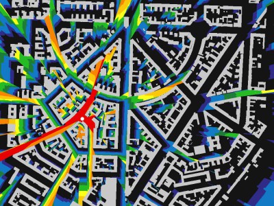
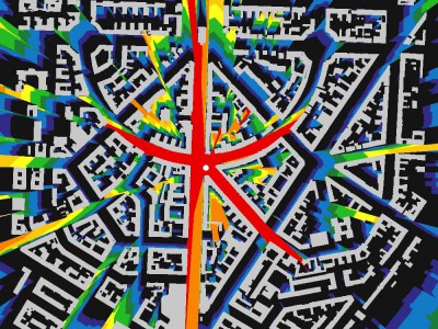
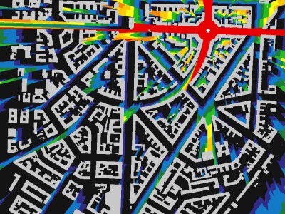
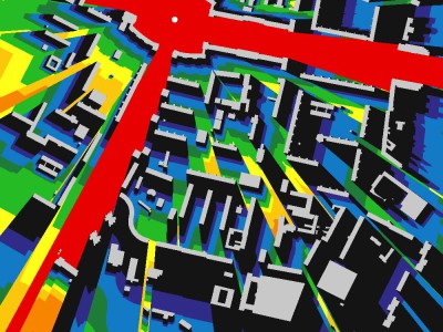
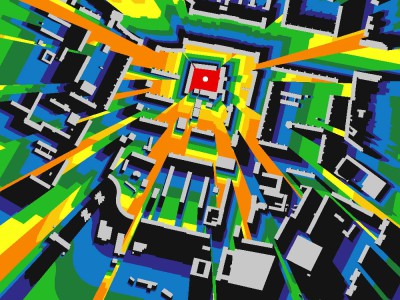
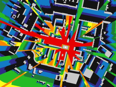
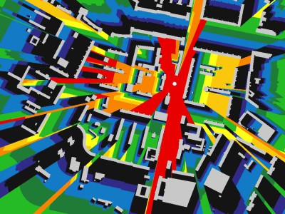
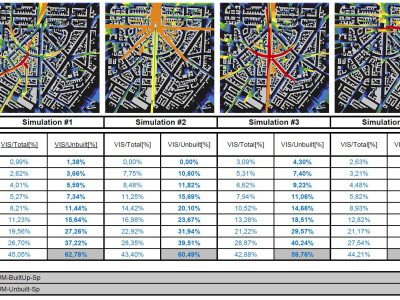
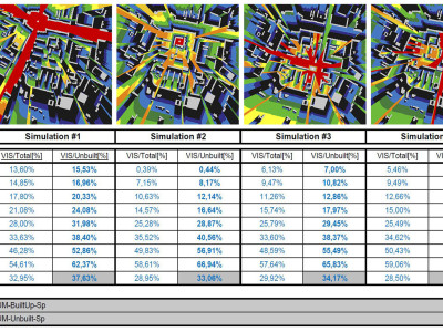
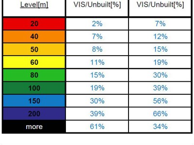
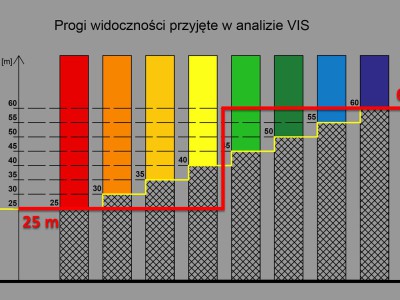
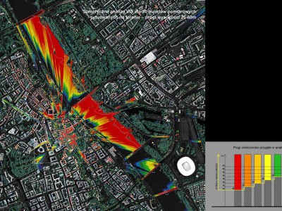
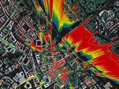
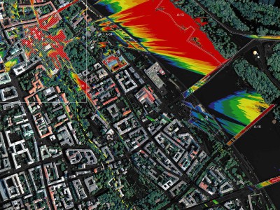
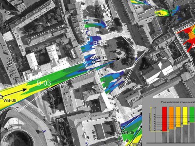
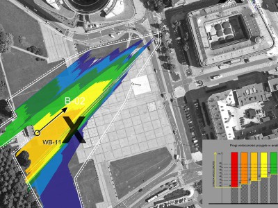
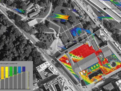
The Visual Impact Size (VIS) method was developed for comprehensive assessment of the visual impact range of a given tall building. It enables determining which public locations in a city remain under the influence of a tall building. A single calculation process defines the range of the impact, namely whether we can see the building in whole or a major or minor part of it. The method enables measuring the visual impact of a building at various heights. The results are generated automatically in the form of a 2D map. The interpretations of findings may be crucial for determining further directions of future planning. The VIS map enables determining important expositions of a new building, including those that pose a threat to the integrity of the most important spatial development (e.g. old towns, symmetrical arrangement). Viewpoints examined based on the VIS analysis can undergo simulation against height lines to show the actual scale of a facility in space.
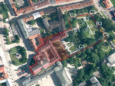
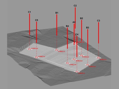
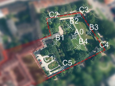
The VIS method has been used in various studies since 2007. However, the 2TaLL project developed and harmonized it. The project developed new algorithms and software solutions that enable emulating VIS maps based on various spatial city models (including CityGML, DSM). They promoted scientific development of the isovist 3D theory. Measuring the impact area, or comparing VIS maps for different urban structures created a basis for developing the theory related to the landscape absorption capacity in cities. The major application potential, however, needs to be emphasized, as proved by a number of cases. In the latest study for Warsaw (by team of prof. Marzęcki, 2015), the VIS method was used to analyse the visual impact of a planned building in the seminar garden at Skarpa Warszawska. The VIS map became the foundation of the study as well as a basic tool for assessing the impact on the city landscape. It also helped identifying important exposition points of a building in the historical context of Warsaw.

