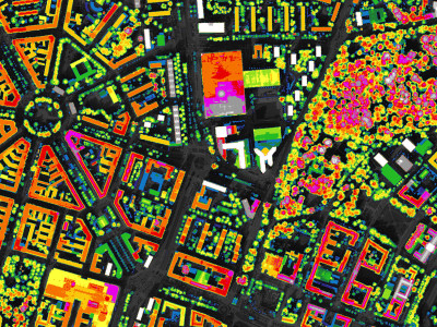
Virtual City Models
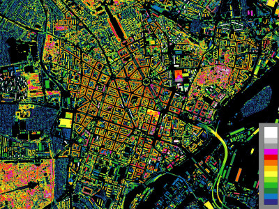
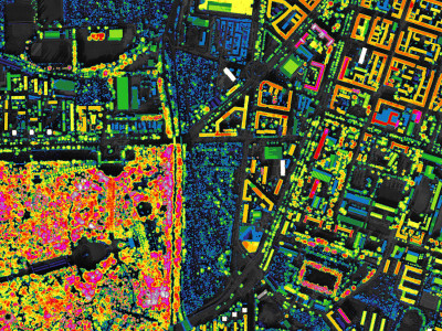
Cityscape analysis conducted in 2TaLL base on application of 3D city models. Accessing those resources was necessary to meet project objectives. A major issues was also adjusting of new analytical methods to current standards of city models. For application of model new software solutions (C++) was created. The methods of tall building impact analysis developed within the project enables processing of two types of city models:
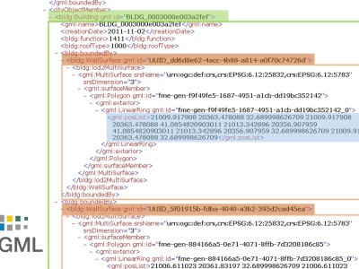
►CityGML – open source standard which combine vector models and advanced semantics
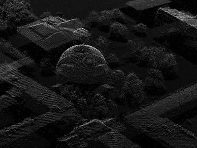
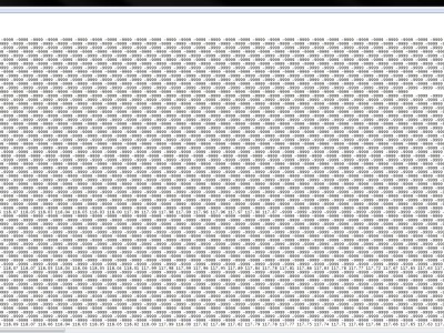
►LiDAR / DSM – data from aerial laser scanning ALS – cloud of points
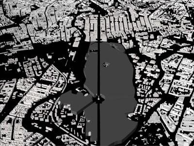
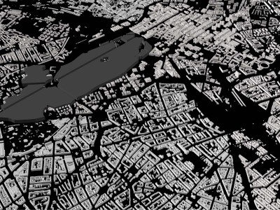
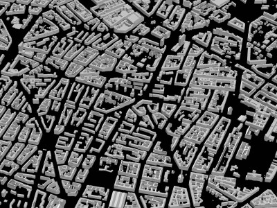
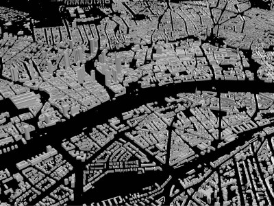
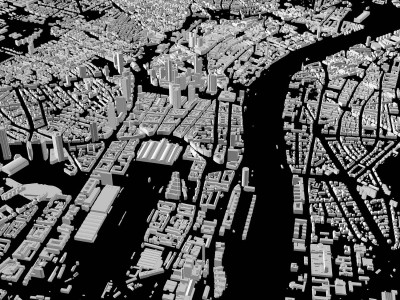
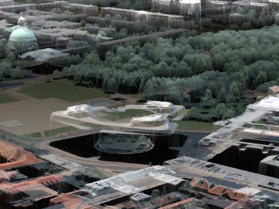
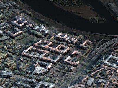
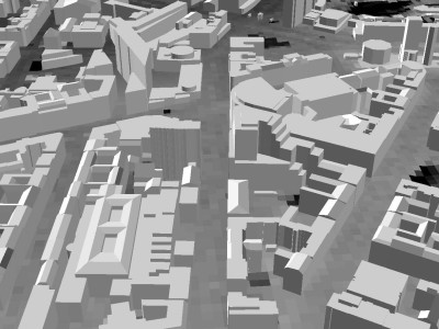
CityGML Models: In the first stage of the project, research used solely 3D city models in the CityGML standard. The term ‘standard’ is crucial. CityGML makes 3D data independent from the environment of the model, which is a major difference if compared to CAD models, in which data are linked with a specific program and their transfer to other programs usually involves certain loss. CityGML models are standard in Western Europe, in particular in Germany. They enable recording not only the geometry of buildings but also data semantics (description of mutual relations between elements of model). Thus, the format covers various classes of objects (e.g. buildings, water, tunnels, and bridges) and enables recording them in various precision scales (LoD). In practice, incompleteness of a model is a frequent drawback, which means that it does not reflect all elements of the actual city space. For the purpose of research under the 2TaLL project, CityGML models were acquired covering whole or parts of 8 European cities, including Berlin, Frankfurt, Rotterdam, Delphi and Dresden.
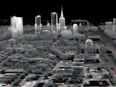
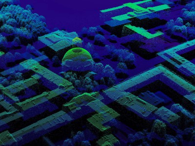
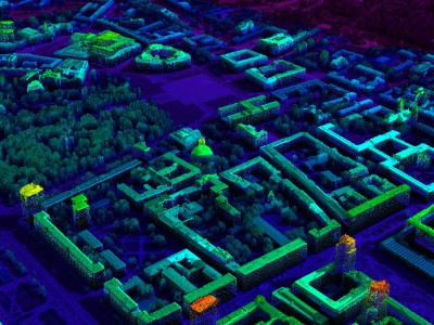
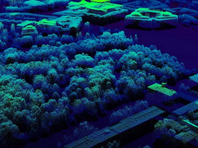
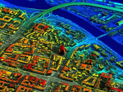
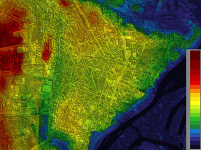
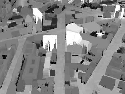
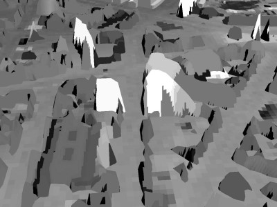
LiDAR / DSM Models: Different digital recording of space is used in city models based directly on aerial laser scanning ALS (LAS, DSM, DTM models). Aerial scanning data are a semi-processed product for developing vector models. However, unprocessed picture of a city in the form of a cloud of points can be a basis for using landscape analyses. Some major factors include cost, validity and access to data. In the case of Polish cities, CityGML models are virtually not available. However, the nation-wide flood protection programme ISOK produced LAS, DSM and DTM high resolution models for all major Polish cities. The 0.5m DSM model enables reflecting basic architectural relations. A major advantage of the city picture produced is a complete presentation of all spatial elements with the same precision. In the second stage of the project, some of the methods, including VIS and VPS, were adjusted to process DSM models, which required other (recurrent) algorithms and software solutions. Research using DSM models covered 4 Polish cities: Warsaw, Szczecin, Lublin and Wrocław.
