VPS: Visual Protection Surface
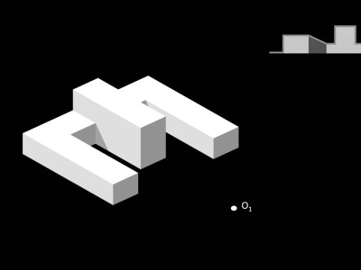
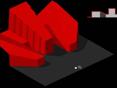
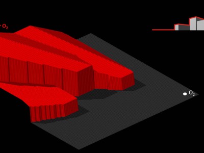
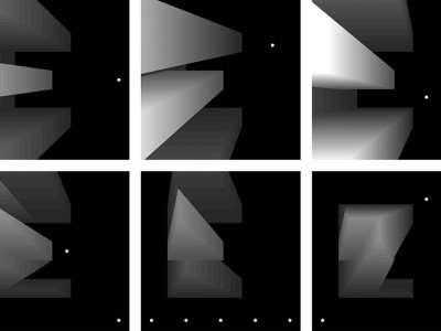
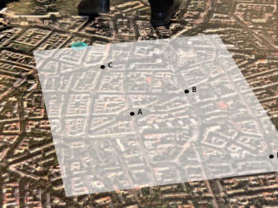
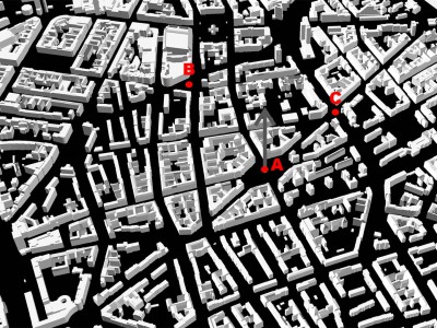
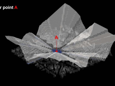
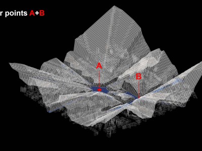
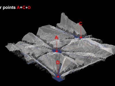
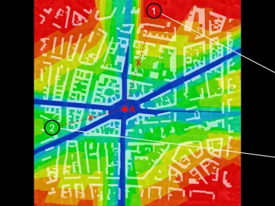
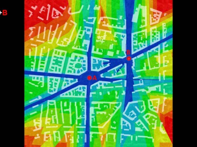
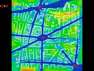
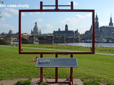
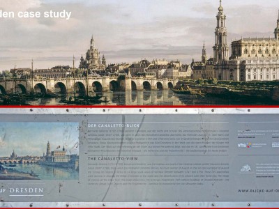
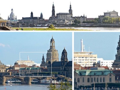
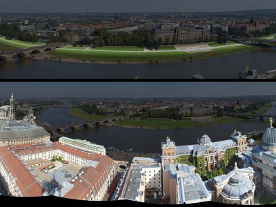
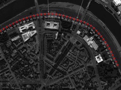
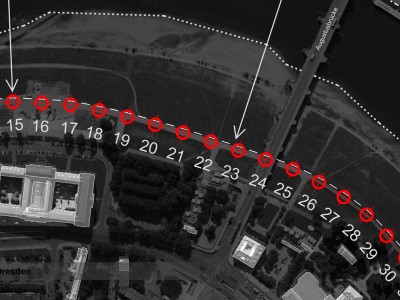
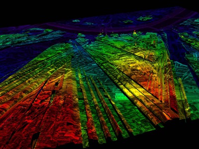
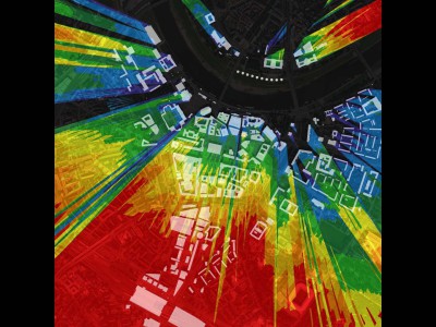
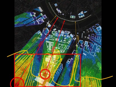
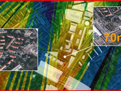
The Visual Protection Surface (VPS) method focuses on protecting the background of important city skylines. The method enables determining height limits for certain buildings. Input data comprises coordinates of expositions points for strategic views that need to be protected (which is in line with policy of spatial landscape protection and development in many cities, e.g. London). The computation process generates a surface above the city determining the maximum height of buildings, buildings which are not seen from protected viewpoints. VPS can be used to analyse the capacity of a city to absorb tall buildings. The method can also verify consequences of spatial strategies and changing the height of buildings in a city. VPS was used for the first time in studies on Dresden, a city of landscape values that are unique in Europe.

